

 on Google
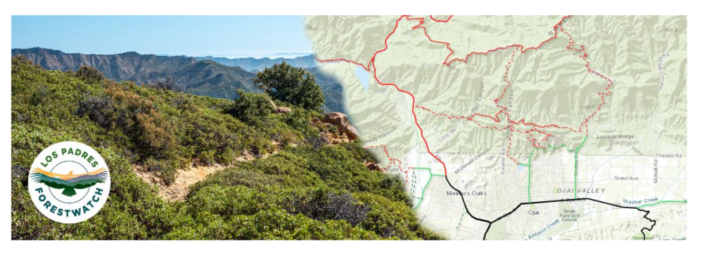
Earlier in January, California was drenched with the kind of heavy rainfall and extreme weather that it hasn’t seen in decades. And now we’re being hit by another wave of severe storms that are sure to seriously impact cities and communities all along the state.
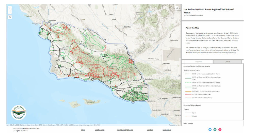
That’s why the Santa Barbara-based nonprofit, Los Padres ForestWatch, has launched the new web app, OpenTrails. In light of the severe storms that hit the Central Coast earlier this year, several trails and roads within Los Padres National Forest experienced closures due to storm-related damage and unsafe conditions. With OpenTrails, users will be able to keep in the know of which trails and roads are open to the public at the moment.
“Our local region is home to an astounding number of trails and open spaces for people to explore, but these areas are managed by a variety of different entities,” said ForestWatch’s Director of Conservation and Research, Bryant Baker. “We wanted to create a resource where people can find information consolidated from the many agencies and organizations that determine when and which trails and roads are closed due to storm damage and dangerous conditions.”
With an interactive map that features over 1,800 trails and roads to explore between Morro Bay to Santa Monica, the app is an opportunity for outdoor enthusiasts to find new trails to traverse upon. Not only does it show the public access status of trails and roads across the region, but also what types of uses are allowed on them. As Los Padres continues to slowly reopen, the map and its data will constantly be updated for residents to determine which trails are safe for them to travel through. And recently, there has even been a colorblind-friendly option that has been added for users to toggle with.
OpenTrails can be accessed through experience.arcgis.com using both desktop and mobile devices. While storms from this season are expected to cause more temporary closures, the app will continue to be updated as trails and roads reopen in the coming months.


You must be logged in to post a comment.